Earthquakes can cause huge devastation in mountains by triggering landslides. But what happens when the shaking stops? In the months to years following large earthquakes, rocks and sediment moved by earthquake-triggered landslides still cause serious issues, filling rivers and causing flooding during rainfall. The sediment can also affect water resources and hydro-electric power generation. Loose sediment can also cause more damage if new landslides occur. Despite this, the lifespan over which landslide-produced sediment stays in mountain river catchments following large earthquakes is poorly understood.
Recently, the impacts of the 2008 Wenchuan earthquake (Mw 7.9) on the river catchments of the Longmen Shan mountains were examined by Prof. Zhangdong Jin of Institute of Earth Environment, Chinese Academy of Sciences, Prof. Joshua West of University of Southern California and Dr. Robert Hilton and Prof. Alexander Densmore of Durham University, and involved other PhD students at Xi’an and California.
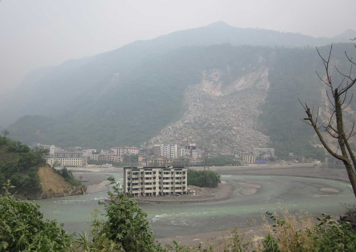
The devastating 2008 Wenchuan earthquake triggered more than 57,150 landslides in the Longmen Shan mountains in Sichuan in China. Zhangdong Jin et al. used detailed, daily measurements from rivers of the amount of water (water discharge) and the amount of mud and sand (suspended sediment discharge) at 16 gauging stations in the Longmen Shan mountains. These river catchments cover an area of 68,000 km2. The research is able to use data from 2006 (two years before the Wenchuan earthquake) until 2013 (five years after the earthquake) collected by the Chinese Bureau of Hydrology. The data is extremely detailed, and is able to be used to track the immediate changes to river loads after the earthquake. The research also mapped landslides triggered by the earthquake using satellite imagery. These landslide maps were used to calculate the volume of mud and sand delivered by earthquake-triggered landslides to the rivers.
The research suggested that it will take decades to centuries for rivers to remove fine sediment (mud and sand) from earthquake-triggered landslides. It demonstrated for the first time that the memory of rivers to earthquakes is longest where the area of landsliding is high, and where the climate results in lower-intensity rainfall and river flows that are less efficient at removing the excess sediment. The research is essential for better management of the secondary geohazard following large earthquakes.
The research was funded by the Royal Society, the National Science Foundation of China, the Chinese Academy of Sciences and the US National Science Foundation. The research is published in Geology (link: http://geology.geoscienceworld.org/content/43/2/115.full), and the article was highlighted in Geology’s press release. 
Major rivers (Min Jiang, Fu Jiang, and Tuo Jiang) impacted by the C.E. 2008 Mw 7.9 Wenchuan earthquake in the Longmen Shan, China. River gauging stations used in this study are shown as circles. Names of nested gauging stations shown inFigures 2B and 2C are highlighted in yellow. Catchment color reflects ratio of mean annual suspended sediment discharge (Qss, Mt yr–1) after the earthquake to that prior to the earthquake. Contours show landslide areal density ρls (%) calculated as proportion of total area mapped as landslides (Li et al., 2014). Columns show pre-earthquake Qss (white) and post-earthquake Qss (red).

 Location :
 © 2015 Institute of Earth Environment,CAS